FEMA and Flood Zones
November 2024 Industry Update
Instructor:
1. It is possible for homes to be removed from a flood map! Federal Insurance Rate Maps (FIRMs) are not static and can be amended through processes such as LOMA (Letter of Map Amendment) and LOMR-F (Letter of Map Revision based on Fill).
2. Properties can be made compliant through measures such as installing flood vents, elevating mechanical systems, and adjusting elevations to mitigate risks.
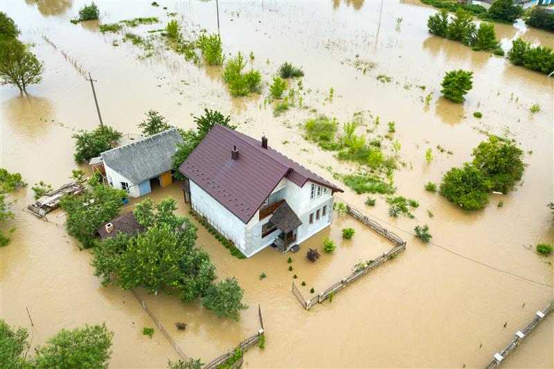
3. A floodplain is land likely to flood during a 100-year flood (1% annual chance), while a floodway represents high-risk areas where floodwaters are actively moving.
4. Real estate professionals are there to help clients understand FEMA regulations, flood insurance processes, and mitigation options.
5. The Biggert-Waters Act (2014) has reformed flood insurance by eliminating subsidized rates and requiring elevation certificates, significantly affecting property premiums.
6. Lenders are required to notify buyers at least 10 days before closing if flood insurance is mandatory, which can influence a buyer’s decision to proceed.
7. Building on land entirely within a 1% floodplain (100-year flood zone) is possible but requires adherence to strict compliance measures.
8. In addition to the National Flood Insurance Program (NFIP), there are private flood insurance options available.
9. Homeowners must understand what their insurance covers, before they ever need to use it.
10. Anyone can look up an address to see if it is in a flood zone on the FEMA site here: https://hazards-fema.maps.arcgis.com/apps/webappviewer/index.html?id=8b0adb51996444d4879338b5529aa9cd